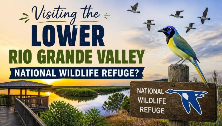
The lower Rio Grande valley national wildlife refuge is not a single park with a gate and a map board. It is a patchwork of more than 100 separate tracts strung along the last 275 miles of the Rio Grande before it reaches the Gulf of Mexico.
The refuge was established in 1979 to protect biodiversity, and it connects private land, state parks, and other protected areas into one wildlife corridor. That structure confuses first-time visitors. You cannot drive to one address and see it all.
Where Is the Rio Grande Valley? The Map Problem
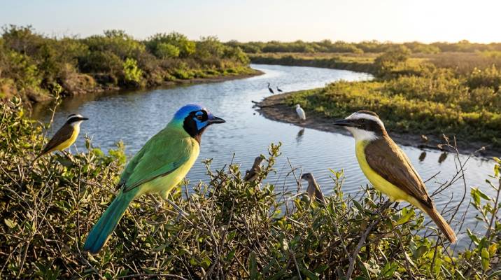
The Lower Rio Grande Valley sits at the southern tip of Texas, where the Rio Grande meets the Gulf of Mexico. It covers Cameron, Hidalgo, Willacy, and Starr counties.
Read Also: Best Birdwatching Tour Itineraries | Expert-Guided Trips
The refuge headquarters is not in the valley itself. It sits at the Santa Ana National Wildlife Refuge Visitor Center, seven miles south of Alamo on FM 907.
That location matters because the refuge has no central visitor hub. The headquarters handles administration for the South Texas Refuge Complex. If you want a map, you need to plan ahead.
The U.S. Fish and Wildlife Service publishes directions to each individual tract on its website. Third-party map apps offer digital maps for the area, but the official source is the refuge's own visit-us page.
The practical advice: Do not search for "Lower Rio Grande Valley National Wildlife Refuge address" and expect a single destination. Search for the specific tract you want to visit. The refuge is a collection, not a location.
The Best Destinations for First-Time Visitors
Four tracts make sense for most visitors. Each offers something different.
Boca Chica: The Largest Tract (With a Major Caveat)
Boca Chica is the biggest unit of the refuge at 17,255 acres . It sits at the mouth of the Rio Grande, east of Brownsville. The drive takes you down Highway 4 for about 18 miles to the road's end at Boca Chica Beach.
You Must Also Like: Best Bird Photography Trips from Brisbane 2026
What you get: Brush-covered clay dunes, salt flats, and access to the beach. The refuge allows vehicles on designated fishing access roads only. Other areas are foot traffic only. Open daily, sunrise to sunset, no fee .
The honest warning: Recent visitor reports say SpaceX has occupied and developed much of the area. The road to the beach closes frequently. Heavy machinery has damaged the road surface.
One reviewer said the wildlife refuge "essentially no longer exists" in its original form . This is not the place for a quiet nature walk anymore. Go only if you want to see the SpaceX facility from a distance and can handle a four-wheel-drive vehicle on sand.
East Lake: The Birding Tract
East Lake sits near Raymondville. The drive involves a series of turns down farm-to-market roads, ending at a kiosk and gate . It is not easy to find. That is part of the appeal.
What you get: A quieter experience than Boca Chica. The tract attracts birders because the habitat supports species that need dense brush and water. The refuge's own directions are detailed because GPS often fails on these rural roads.
The caveat: No facilities. No trails in the traditional sense. You park and walk. Bring water and insect repellent. The mosquitoes and chiggers are active year-round in this region.
La Sal del Rey: The Salt Lake
La Sal del Rey is a natural salt lake north of the refuge headquarters. The walk to reach the lake is about three miles.
What you get: A unique landscape. The lake is a historic salt source. The trail is flat and exposed. There is no shade.
The practical note: The refuge's directions specify which parking lot to use. The Highway 186 lot is a historical marker, not an access point to the lake. Use the Brushline Road lot. Bathrooms are available half a mile into the Brushline Road entry.
Salineño: The River Tract
Salineño sits west of the main valley, about 65 miles from the headquarters. The tract is small, just two acres owned by a partner organization.
What you get: River access. This is one of the few places where you can see the Rio Grande up close. The habitat is riparian, which means different birds than the brush country tracts.
The honest limit: It is a small site. Do not drive 65 miles expecting a full day of hiking. Combine it with other stops in the western valley.
What You Will Actually See: The Wildlife
The refuge exists for biodiversity. The Lower Rio Grande Valley is one of the most species-rich areas in the United States. More than half the bird species found in the country have been recorded in these four counties.
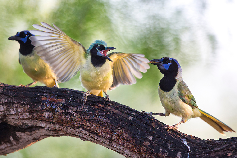
The birds: The valley is famous for species that do not appear elsewhere in the U.S. The Altamira oriole, the green jay, the great kiskadee, the plain chachalaca, and the buff-bellied hummingbird are the specialties. These are subtropical birds that reach the northern edge of their range in south Texas.
The butterflies: The National Butterfly Center in Mission sits adjacent to a refuge tract. The peak butterfly season runs from late October through early November. The center is not part of the refuge, but it is worth a stop if you visit during that window.
The honest limitation: Wildlife viewing depends on timing. The refuge's own guidance says to visit in the morning (sunrise to 10 a.m.) or late afternoon (4 p.m. to sunset) when animals are most active. In summer, the heat between 10 a.m. and 4 p.m. makes midday visits unpleasant and unproductive.
The Access Rules Nobody Explains Clearly
What this means for you: Wear sturdy shoes. Bring more water than you think you need. Tell someone where you are going. Cell service is unreliable in the rural tracts. The refuge is not a theme park. It is working land managed for wildlife, not for visitor convenience.
Where to Stay and What to Bring?
The refuge has no camping. The nearest towns with hotels are Brownsville, Harlingen, and McAllen. The headquarters at Santa Ana is about 30 minutes from McAllen and an hour from Brownsville.
The packing list: Insect repellent with DEET. Long pants. A hat. Binoculars. A paper map or downloaded offline map, because cell service fails. Water. Sunscreen.
The refuge's own birding guide for Santa Ana recommends spraying insect repellent around your socks and waistband to discourage chiggers.
The Final Thoughts
The lower Rio Grande valley national wildlife refuge rewards visitors who understand what it is. It is not a single destination. Skip Boca Chica if you want quiet nature.
Bring water. Wear long pants. Start early. The valley is hot, the bugs are hungry, and the trails are not marked. That is the deal. The birds make it worth the effort.